The Kruger National Park received an abundance of rain at the beginning of the month. Camps were evacuated, roads were closed and rivers flooded. While the Kruger is somewhat more notorious for its drier climate, the history of the Park contains many bouts of torrential downpours and detrimental flooding.
The Big Flood of 2000
In February 2000, the Kruger Park flooded, causing widespread infrastructure damage. Bridges in the south were damaged cutting off the north from the south. Specifically, the high-level bridge over the Sabie River allowing access between the north and south of the Park. The tar road along the Sabie River was also closed. Fences and camps were destroyed. In Skukuza, three rows of rondavels closest to the river were evacuated and the restaurant was severely damaged. At Malelane, 28 poles carrying power cables were washed away. As a result, Crocodile Bridge Camp and Lower Sabie were left without water or power. This flood was categorized as the worst flood in southern Kruger ever.
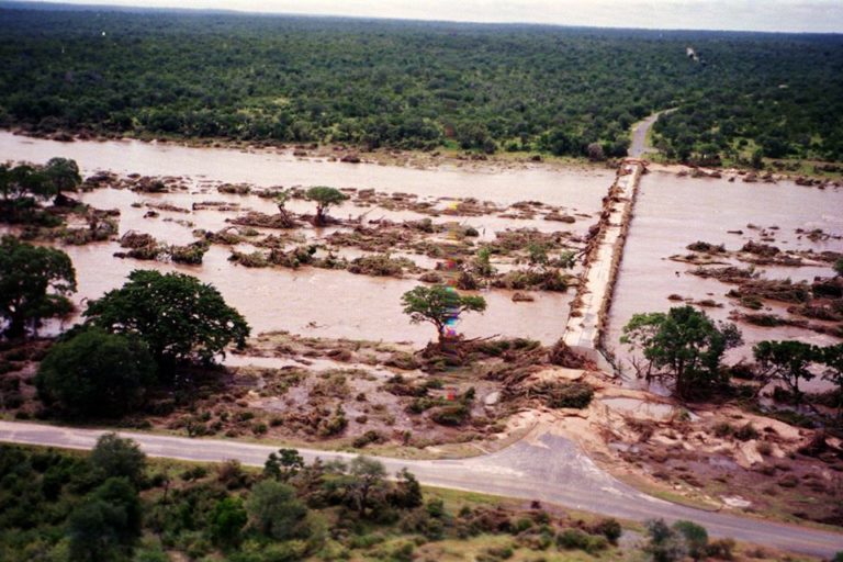
Image: Joep Stevens
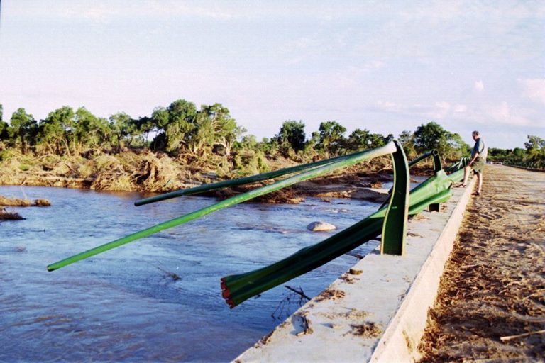
Image: Joep Stevens
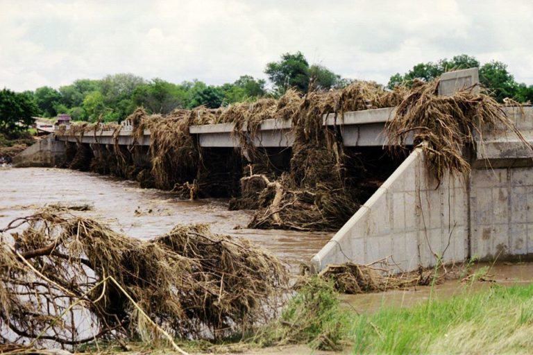
Image: Joep Stevens
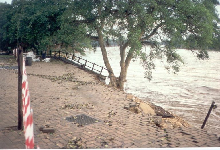
Image: Joep Stevens
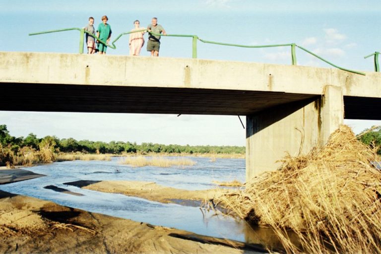
Image: Joep Stevens
It all poured down in 2012
The flooding of early 2012 was the second time Kruger received rains that were called ‘once-in-one-hundred-years’ flooding. The South African Weather Services released a statement saying ‘120 and 270 millimetres (mm) were measured at Phalaborwa and Hoedspruit respectively, while Skukuza and the surrounding areas saw over 135mm.’ The downpours were a direct response to the arrival of an extra-tropical depression in southern Mozambique. The area’s camps and picnic sites included: Tshokwane Picnic Site, Balule Camp, Talamati Camp, Biyamiti, Tamboti, Roodewal, Letaba, Makhadz, Nhlanguleni, Muzandzeni, Mlondozi, Timbavati. Road closures included Olifants River causeway at Balule, Tshokwane to Lower Sabie, Pretoriuskop to Skukuza, all gravel roads south of Letaba River were closed because of flood damage. Six tourists were trapped at a picnic site by the flooding and had to be airlifted to safety.
When it rained in 2013, it poured
In January 2013, Shingwedzi Camp in the Kruger National Park was destroyed by floods. Prior to the floods, guests were evacuated and staff members were airlifted to safety. The South African National Defence Force, South African Police Services and SANParks worked around the clock to bring everyone at Shingwedzi to safety. Shimuwini, Shingwedzi, Sirheni, Talamati, Tamboti were all inaccessible. The Letaba river overflowed, and all gravel roads in the Phalaborwa, Letaba and Mopani area were closed.
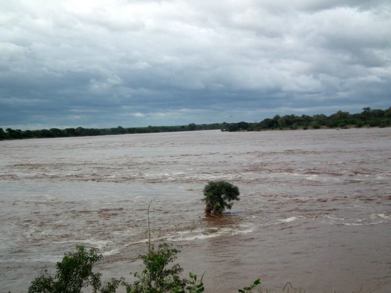
View from the Letaba restaurant. Image: Val Stephens
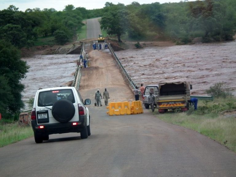
Low-level bridge (causeway) on the H14 Phalaborwa to Mopani tar road. Image: Val Stephens
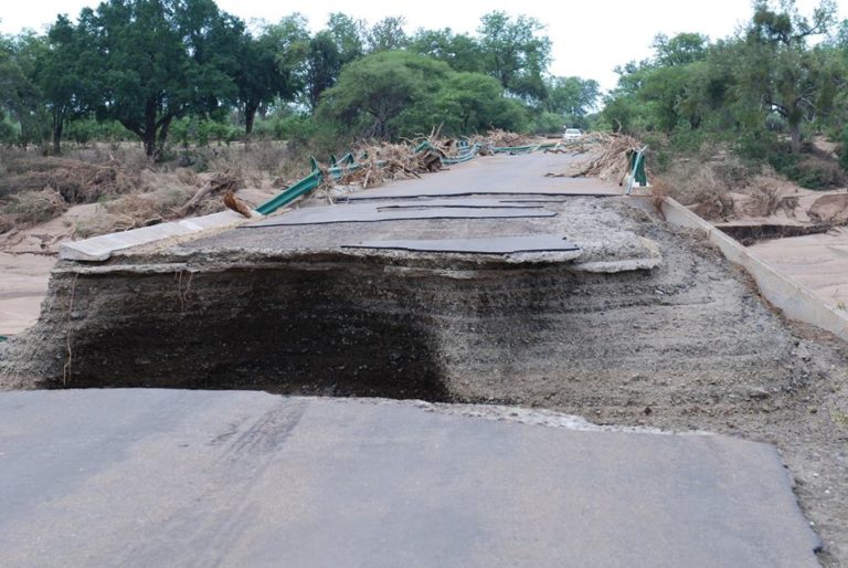
The north side of the bridge at Shingwedzi. Image: Joep Stevens
Torrential rains of 2016
The road H1-7 between Shingwedzi and Punda Maria were closed as a result of floods in Kruger in March 2016. Phabeni Gate and Low Water Bridge on the S1 from Phabeni Gate were inaccessible due to damage on the low-water bridge caused by flooding.
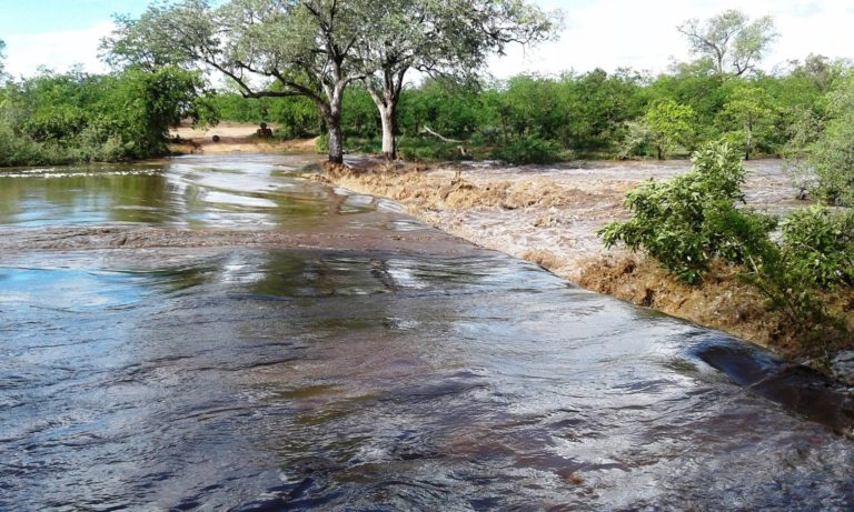
Sirheni Bridge S57 exit road. Image: Lesley Nyawo
The February floods of 2020
The Kruger National Park received torrential downpour from 10 February 2020, causing massive flooding in some parts. The north of Kruger, in particular, was heavily impacted. Nyalaland Wilderness Trail, Sirheni Bush Camp, Bateleur Bush Camp, Balule Camp, Talamati Bush Camp, Pafuri Gate, Tshokwane and Muzandzeni Picnic sites were all closed for a number of days.
Image: Joep Stevens
You may also like
Related Posts
China’s National Health Commission has published a list of controversial coronavirus treatments that have animal...
read more
Warmer sea temperatures in the summer months, especially in February, were recorded and are believed...
read more
The latest report indexing the world's happiest countries has highlighted the important role of...
read more